Aerial shots of the islands.
 Another shot of St. Lucia as we were leaving. You can see the airport's runway to the left.
 Martinique is the French island that is between St. Lucia and Dominica.
 Much more developed than Dominica. And probably not near as poor.
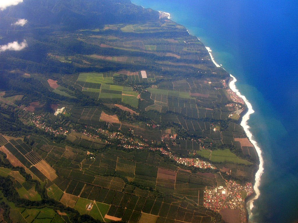 Farmland on the northern coast of Martinique.
 The first view of Dominica on our flight home. Scott's Head is far left, and Grand Bay is directly in the middle of the photo.
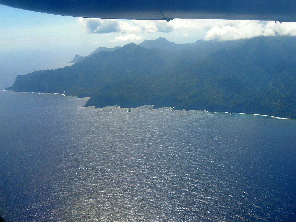 Some of the remote areas of the eastern coast. Kind of reminds you of Jurassic Park with the steep mountains in the background.
 The East Coast Highway. This shows you how windy and steep some of the roads can be in Dominica.
 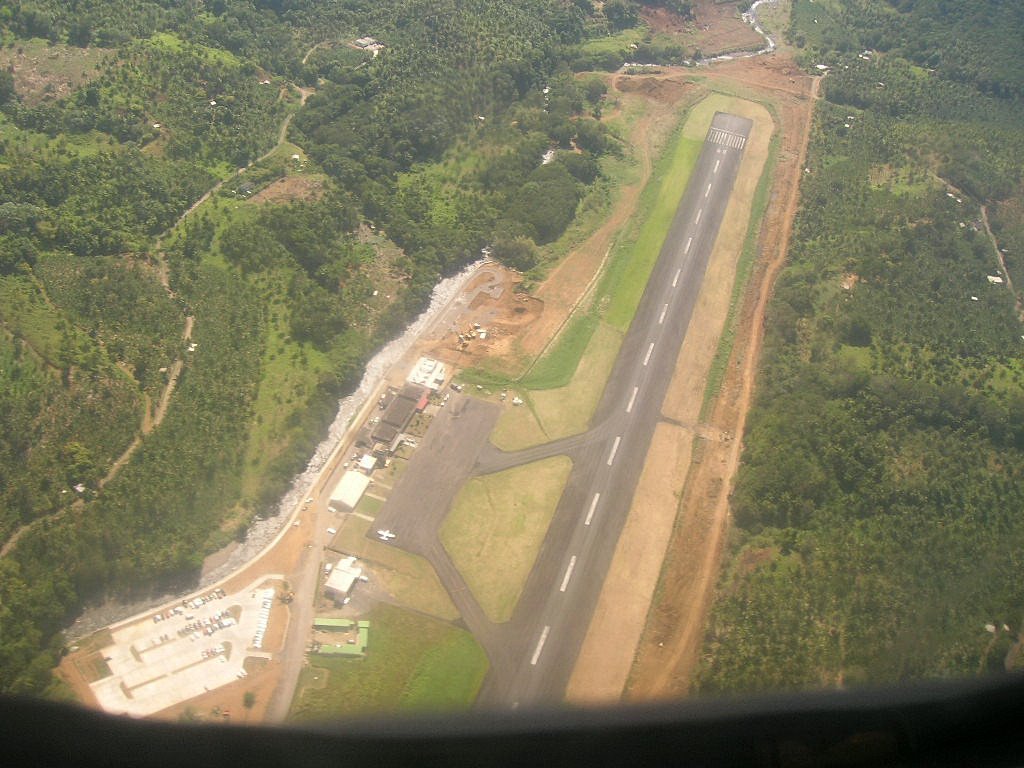 That's not a private airport, that is Melville Hall, the major airport. The whole runway almost fits in the picture.
 Getting ready to land at Melville Hall. Dominica is so green.
posted by Daniel, Katie, and Ava @ 6:14 PM
1 comments
![]()

1 Comments:
What an awesome veiw! These pictures are beautiful.The runway looks a little worrisome though!
Post a Comment
<< Home